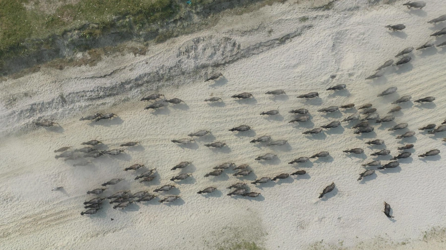
Thermal Drone Surveys
Advanced technology for wildlife counts and property assessments.
Advanced technology for wildlife counts and property assessments.
The thermal drone survey service offers a modern, cost-effective alternative to traditional helicopter counts and spotlight surveys for wildlife management. Using advanced thermal imaging technology and licensed drone operations, we provide accurate wildlife counts and property assessments.
All thermal drone surveys are conducted by FAA-licensed operators using professional-grade equipment, ensuring accurate results and regulatory compliance. This service integrates perfectly with our wildlife management programs and MLD permit assistance.
Wildlife Population Surveys
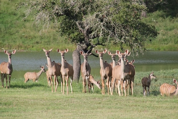
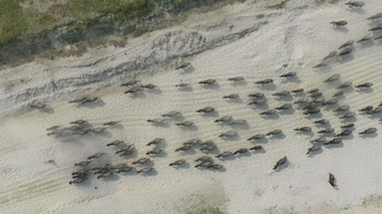
Precise counts of wildlife populations using thermal imaging that can detect animals even in heavy brush or woodland areas, providing more accurate data than traditional methods.
Property Assessment
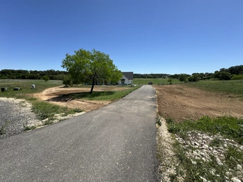
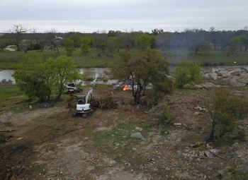
Comprehensive aerial assessment of your property, including fence line inspections, water feature evaluation, erosion detection, and identification of potential problem areas.
Time and Cost Efficiency
Significantly more affordable than helicopter surveys and more accurate than spotlight counts, our thermal drone operations provide the best of both worlds at a fraction of the cost.
Documentation and Reporting
Detailed reports including population estimates, distribution maps, and recommended management actions based on survey findings.

